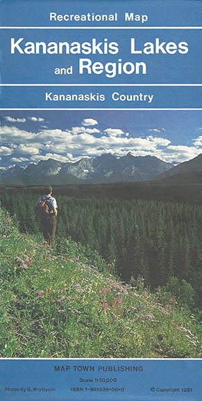
Kananaskis Lakes and Region Map, Gem Trek Publishing, 1991
The early history of Gem Trek Maps began in 1991. Donna and Roger Nelson had opened Map Town, a retail map and travel bookstore, in downtown Calgary, Alberta, in 1989. Here, they were deluged by requests for up-to-date hiking maps of Kananaskis Country, a popular recreational area for Calgarians on the eastern slopes of the Canadian Rockies. So, in 1991, they began selling two manually-drafted 1:50,000-scale topographic maps—a Spray Lakes Map (this map title was subsequently changed to Canmore & Kananaskis Village), and a Kananaskis Lakes Map. In addition to the topographical information found on the NTS series of government maps, these early maps provided accurate coverage of cultural features, recreational facilities and—most importantly—hiking and biking trails. The first editions of these are now both collectors’ items.
They followed these two maps with first editions of Lake Louise & Yoho, Banff & Mt. Assiniboine, Jasper & Maligne Lake, Bragg Creek, Banff-Jasper (this map title was changed much later to Canadian Rockies), and a Southwest Alberta-Southwest BC driving map. The earliest maps were issued under the name Map Town Publishing to distinguish this part of the business from Map Town, the retail store.
In March 1995, the publishing arm of the business was extricated from Map Town and established as a separate company (Gem Trek Publishing). By this time, Donna was doing a lot of hiking and researching in the mountain parks, and getting quite involved in the map publishing part of the business, so they established a Gem Trek office in their home town of Cochrane, just west of Calgary.
Where did the name Gem Trek Maps come from?
The name Gem Trek came about on a long drive back from Saskatchewan, where the Nelson’s had been visiting Roger’s parents. Roger and Donna started tossing around ideas for a new company name and along with the Canadian Rockies maps, Roger had it in his mind he wanted to do a series of touring/road maps of all the African countries, as apartheid was ending in South Africa, and he felt there would be a lot of tourist traffic to Africa in the future. Plus, the Nelsons wanted to spend some time in Africa.
So, after several hours of brainstorming, the name “Gem Trek” was decided upon: “Gem” relating loosely to the diamonds in South Africa (the first map in the “Maps of Africa” line), and “Trek” relating to the hiking maps. The Nelsons felt this would encompass both the African and Canadian Rockies’s lines of maps.
Gem Trek International Maps
Roger and Donna had a wonderful trip to southern Africa in 2004, but, unfortunately, only sold about 300 South Africa and 50 Namibia maps in total. The rest of the original Africa print runs eventually went into the dumpster behind the Gem Trek warehouse.
Not to be discouraged, a few years later, Roger did a map and guide of the Cayman Islands, as the first in a projected series of map-guides for the Caribbean. Unfortunately, this series died a premature death, as the Cayman Islands map-guide was never printed. But again, the Nelsons had a lovely 2-month stay in the Cayman Islands researching it one winter.
Gem Trek Maps History Part 2
Part 2 of Gem Trek’s history is here.
(Thanks to Donna Nelson for her help in compiling this history)