Gem Trek Maps publishes four maps for Kananaskis Country. Over the last 30 years over 200,000 Kananaskis Gem Trek maps have been sold, helping locals and visitors alike make the most of their time in the region. Gem Trek Kananaskis maps include:
- waterproof and tear-resistant paper
- contour lines at 25-metre (80-foot) intervals
- relief shading to better show the topography
- full colour on both sides
- hiking trails – with trail names and trail distances marked
- mountain biking trails – with trail names and distances marked
- hydrology – rivers, rapids and waterfalls
- mountain names and all available mountain elevations
- all campgrounds
- points of interest and attractions
- picnic areas
- highway viewpoints
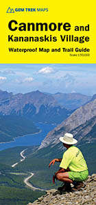
Canmore & Kananaskis Village Map
 ISBN: 978-1-895526-90-5
Scale: 1:50,000
Edition: 7th, 2024
Folded size: 4.5 x 9.5 inches
Flat size: 27 x 36 inches
Price: $14.95
Purchase the Canmore & Kananaskis Village Map
The Canmore & Kananaskis Village Map covers the town of Canmore west to the Stoney Reserve and south to Kananaskis Village along Highway 40. It includes all of Spray Valley Provincial Park, Bow Valley Provincial Park, Bow Valley Wildland Provincial Park, and the northern section of the Elbow-Sheep Wildland Provincial Park.
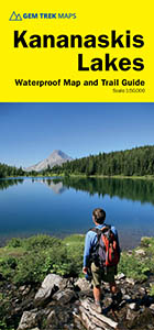
Kananaskis Lakes Map
 ISBN: 978-1-895526-91-2
Scale: 1:50,000
Edition: 7th, 2019
Folded size: 4.5 x 9.5 inches
Flat size: 27 x 36 inches
Price: $14.95
Purchase the Kananaskis Lakes Map
The Kananaskis Lakes Map covers Peter Lougheed Provincial Park, located off Highway 40 south of the Kananaskis Valley. The northern extent of the map is Opal Day Use area on Highway 40 and Engadine Lodge on the Smith-Dorrien/Spray Trail. The southern portion of the map covers Elk Lakes Provincial Park, in British Columbia.
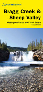
Bragg Creek & Sheep Valley Map
 ISBN: 978-1-990161-09-4
Scale: 1:50,000
Edition: 7th, 2022
Folded size: 4.5 x 9.5 inches
Flat size: 27 x 39 inches
Price: $14.95
Purchase the Bragg Creek & Sheep Valley Map
The Gem Trek Bragg Creek & Sheep Valley Map covers a large chunk of the eastern portion of Alberta’s Kananaskis Country. The map centres on the Elbow Valley, which is accessed from the village of Bragg Creek, a short drive southwest of Calgary. It extends coverage north from the Sheep Valley, where the Highwood & Cataract Creek map leaves off, and extends as far north as Sibbald Flats, south of the Trans-Canada Highway.
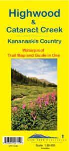
Highwood & Cataract Creek Map
 ISBN: 978-1-895526-71-4
Scale: 1:50,000
Edition: 3rd, 2013
Folded size: 4.5 x 9.5 inches
Flat size: 26 x 36 inches
Price: $13.95
Purchase the Highwood & Cataract Creek Map
The Gem Trek Highwood & Cataract Creek Map covers the southern portion of Alberta’s Kananaskis Country, from Sheep River Falls in the north to Plateau Mountain in the south. It extends coverage south where the Bragg Creek & Sheep Valley map leaves off, and east of the Kananaskis Lakes map coverage. It includes hiking and equestrian trails southeast of Highwood Pass accessed by Highways 40, 541, 940 and 542 (Johnson Creek Trail).