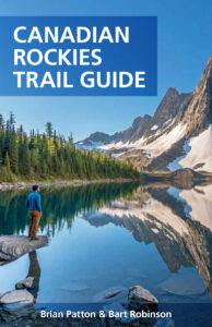
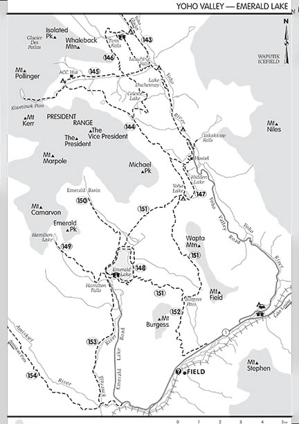
 Gem Trek Maps are used in the new edition of the Canadian Rockies Trail Guide. Since first being published in 1971, the Canadian Rockies Trail Guide has used black and white line-drawing maps to illustrate trails. Through a co-operative agreement for the new edition, our maps replaced existing maps, with many hours spent to ensure that the new map set represented trail descriptions and could be easily cross-referenced by readers. At book size, the new maps are not designed for navigation, but they do allow hikers to get a better understanding of local topography while adding greatly to the overall design.
Head over to the Summerthought website for more information and to purchase the Canadian Rockies Trail Guide, which is currently shipping for free within North America.
CRTG Map Comparison
The map below is from a previous edition.

And the same map in the new 10th edition:
