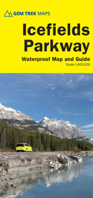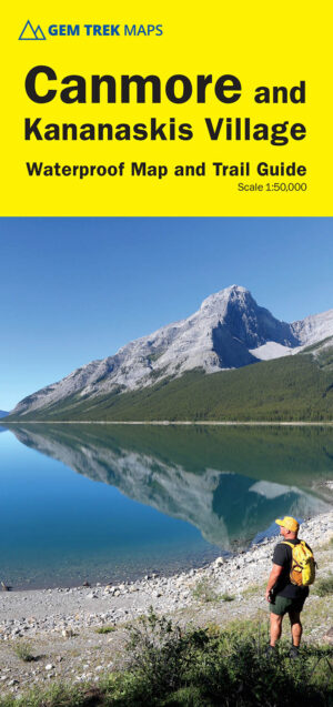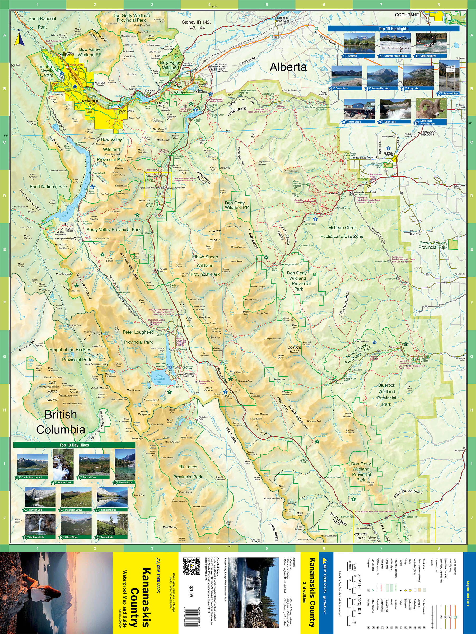
Kananaskis Country Map
ISBN: 978-1-990161-12-4
Scale: 1:120,000
Edition: 2nd, 2024
Folded size: 4.5 x 9.5 inches
Flat size: 27 x 39 inches
$9.95
Also Available Here
Description
Travel map and guide for Kananaskis Country in the Canadian Rockies.
Whether you are a first-time visitor or a long-time local, you’ll find Gem Trek’s Kananaskis Country Map to be an invaluable tool. Researched and designed by locals, and printed in Canada, this map features accurate cartography and subtly colored relief that puts the mountainous region in perspective. The map is printed on high-quality paper that can be folded and refolded hundreds of times.
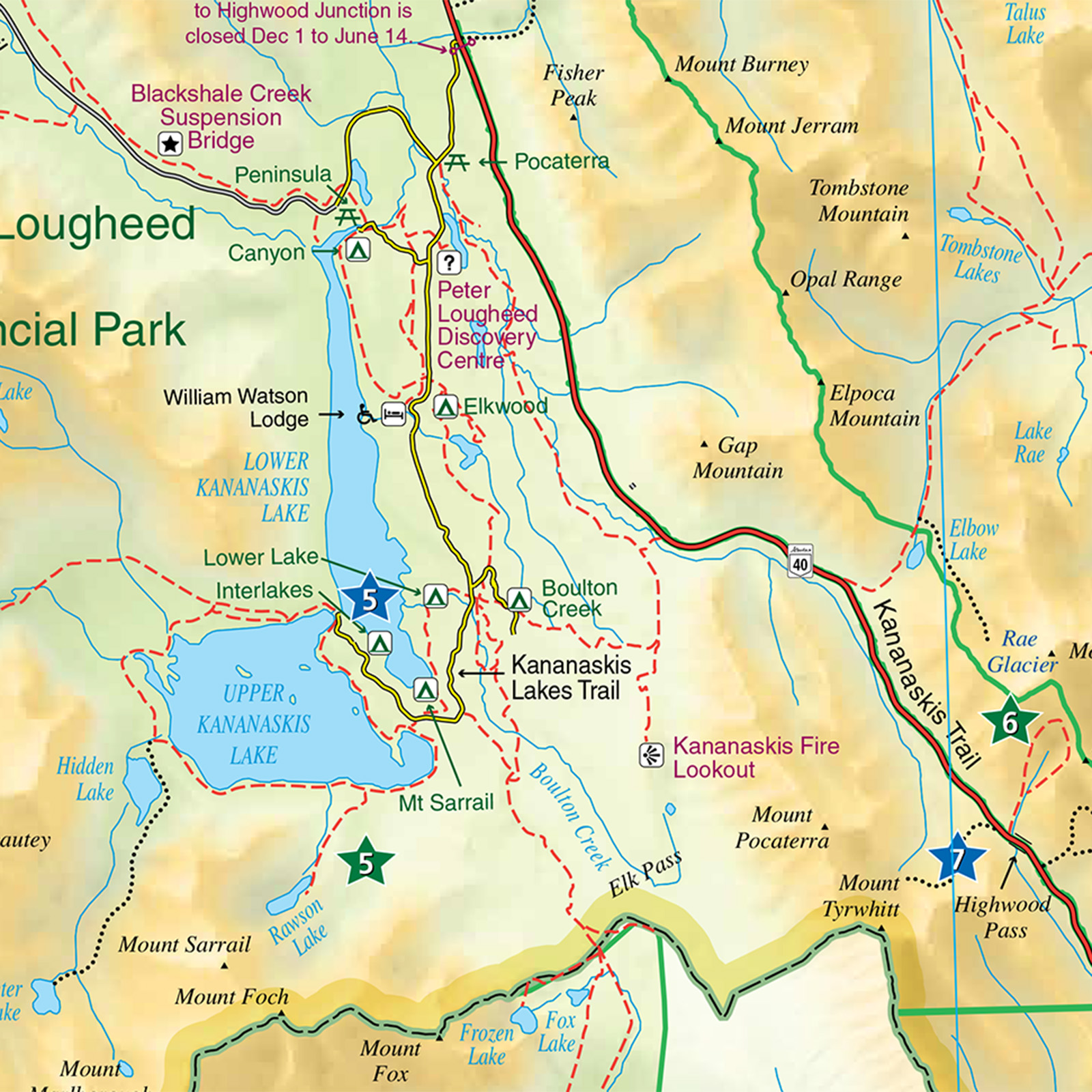
The 1:120,000 scale is ideal for discovering the very best of Kananaskis Country. Highlights and our recommended hiking trails are marked by numbered stars, then cross-referenced on the reverse side with descriptions. Also included are all mountains and their elevations, along with natural features such as waterfalls, hot springs, and glaciers.
In addition to descriptions for the top highlights and most popular hiking trails, the reverse side has inset maps for Kananaskis Village and the Cataract Creek region. There are also descriptions of the park’s geology, history, wildlife, and eco-regions. Practical information on outdoor activities, weather, campgrounds, lodging, and transportation allows map users to plan their trip accordingly.
Map specs
– Map scale: 1:120,000
– Sheet size: 27 x 39 inches
– Folded size: 4.5 x 9.5 inches
Map Coverage
The Kananaskis Country Map covers all of Kananaskis Country in the Canadian Rockies. Coverage extends from Canmore and the Bow Valley in the north to the Highwood River and Cataract Creek in the south. Coverage in the west extends to the Continental Divide and Elk Lakes Provincial Park and eastern coverage to Bragg Creek and the Elbow and Sheep Rivers.
Map Features
The Kananaskis Country Map features:
- relief shading to better show the topography
- full colour on both sides
- hydrology rivers, rapids and waterfalls
- mountain names and all available mountain elevations
- all campgrounds with a handy chart showing campground details
- Top 10 Highlights and Top 10 Hikes, with detailed descriptions