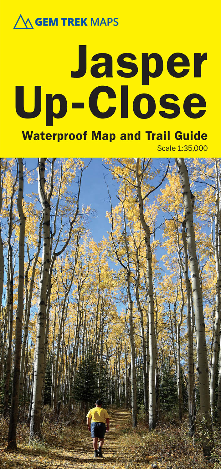
Jasper Up-Close Map
ISBN: 978-1-990161-15-5
Scale: 1:35,000
Edition: 6th, 2025
Folded size: 4 x 9 inches
Flat size: 18 x 24 inches
$9.95
Also Available Here
Description
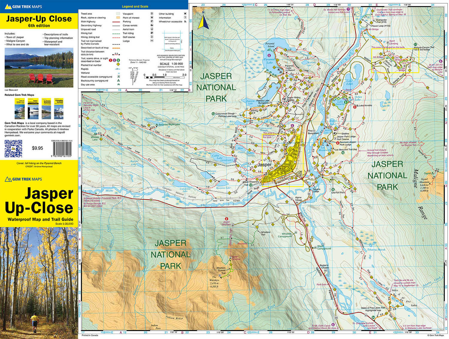
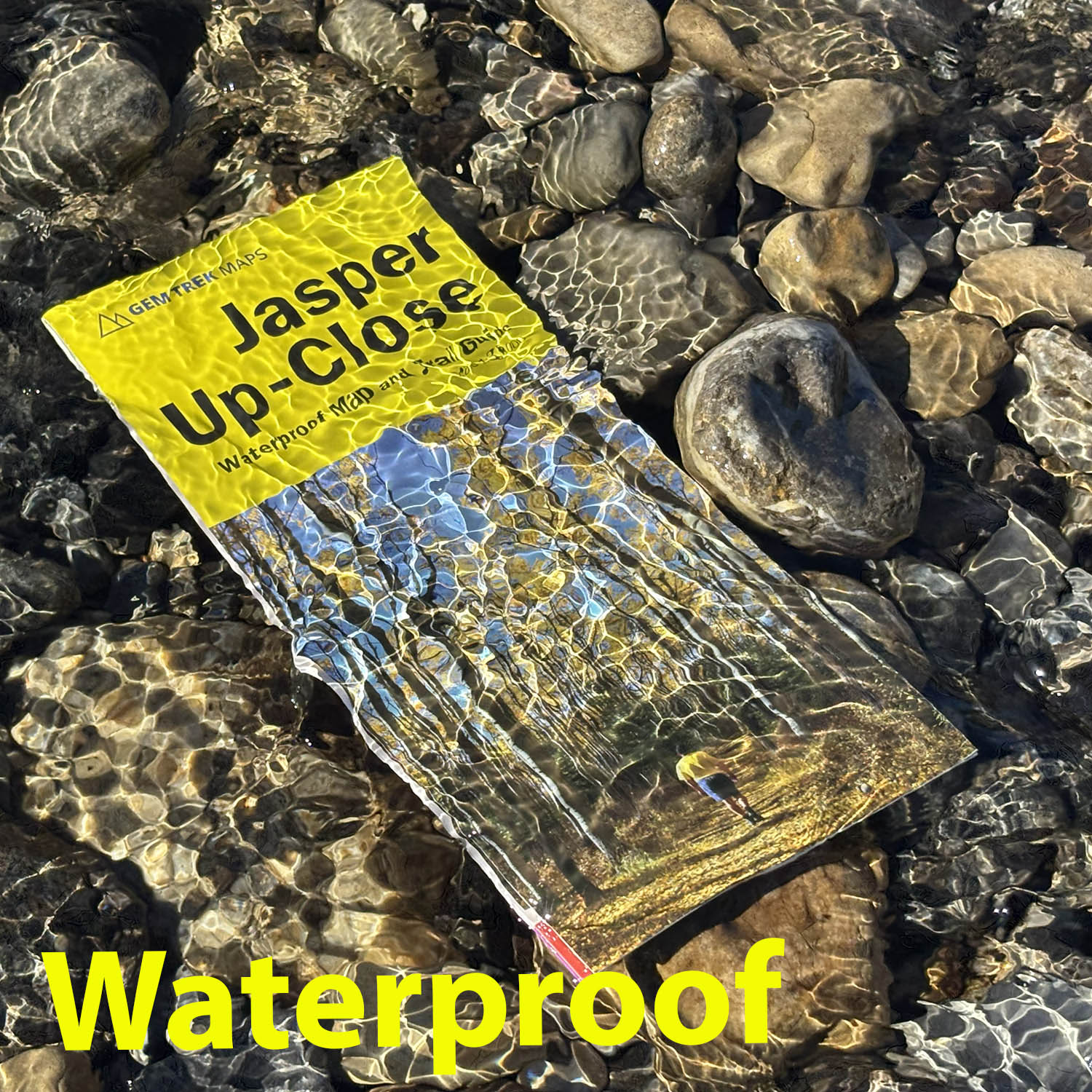
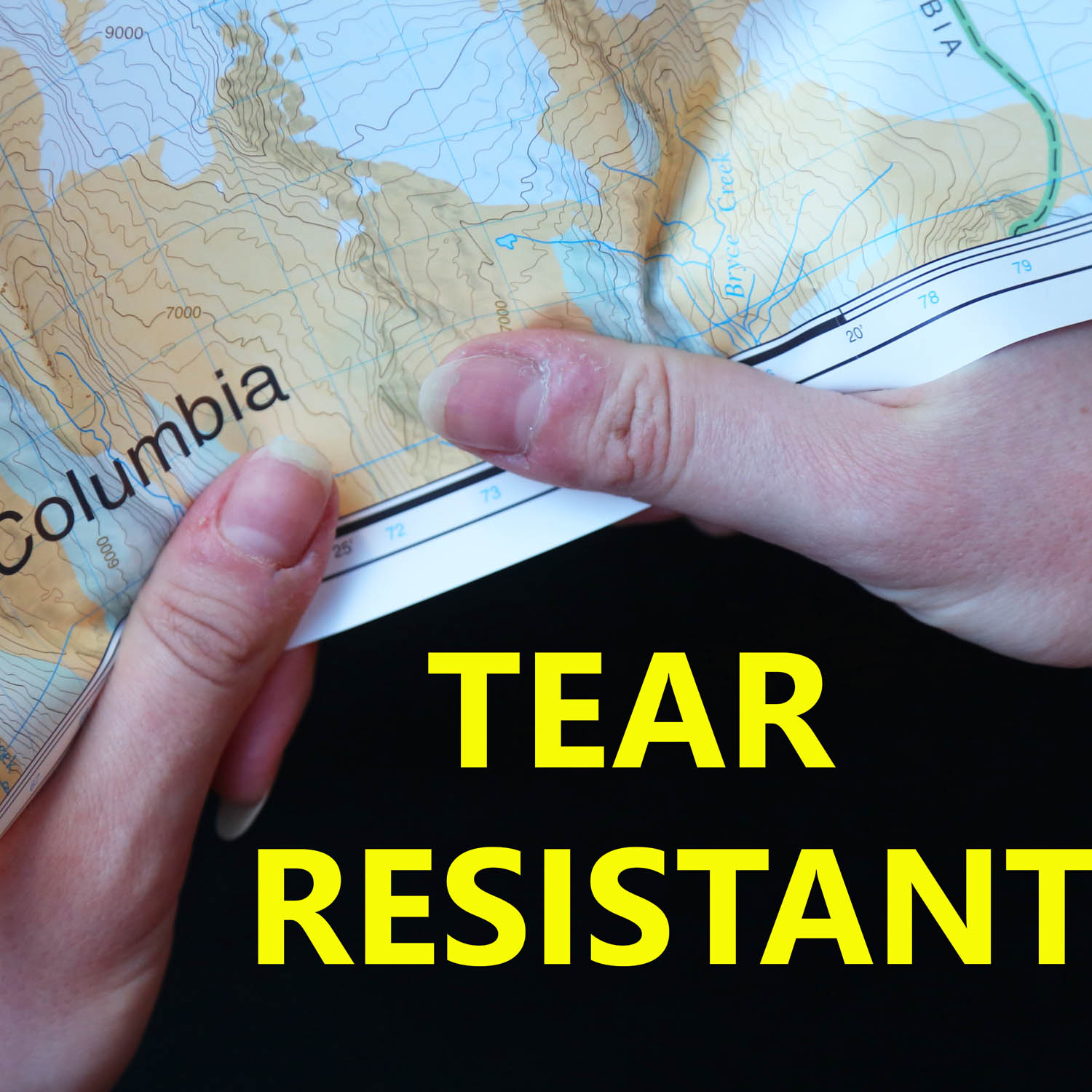
Waterproof and tear-resistant hiking and recreation map for the town of Jasper and surrounds in the Canadian Rockies.
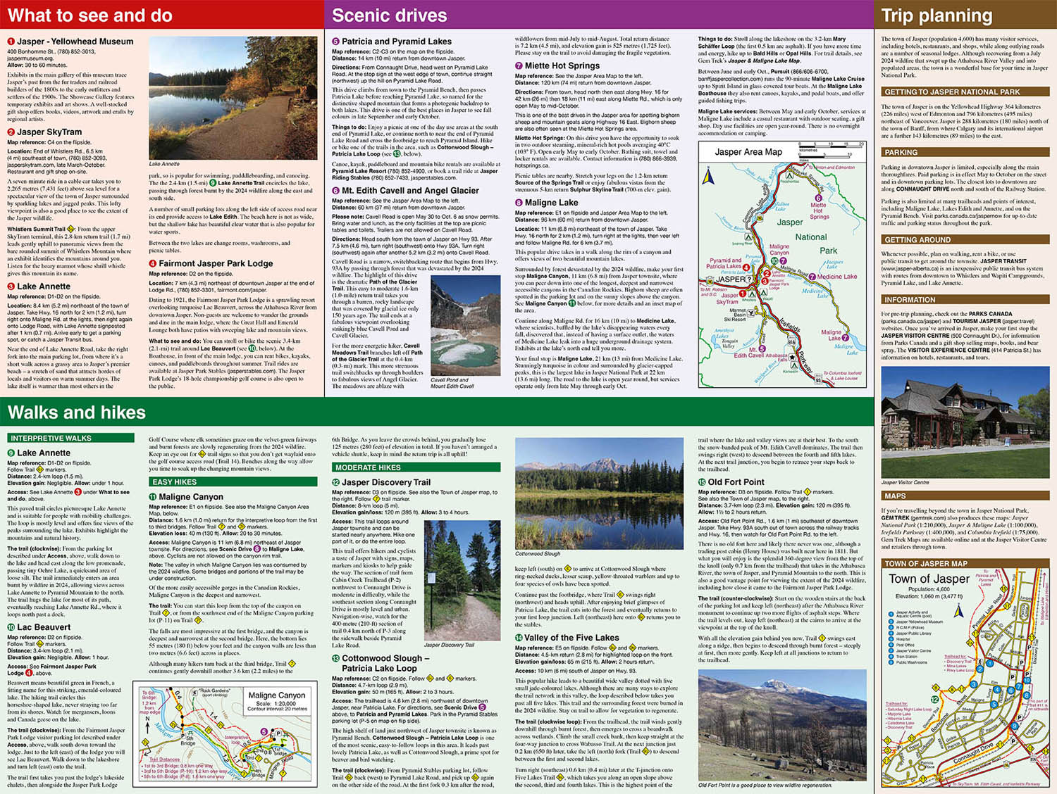
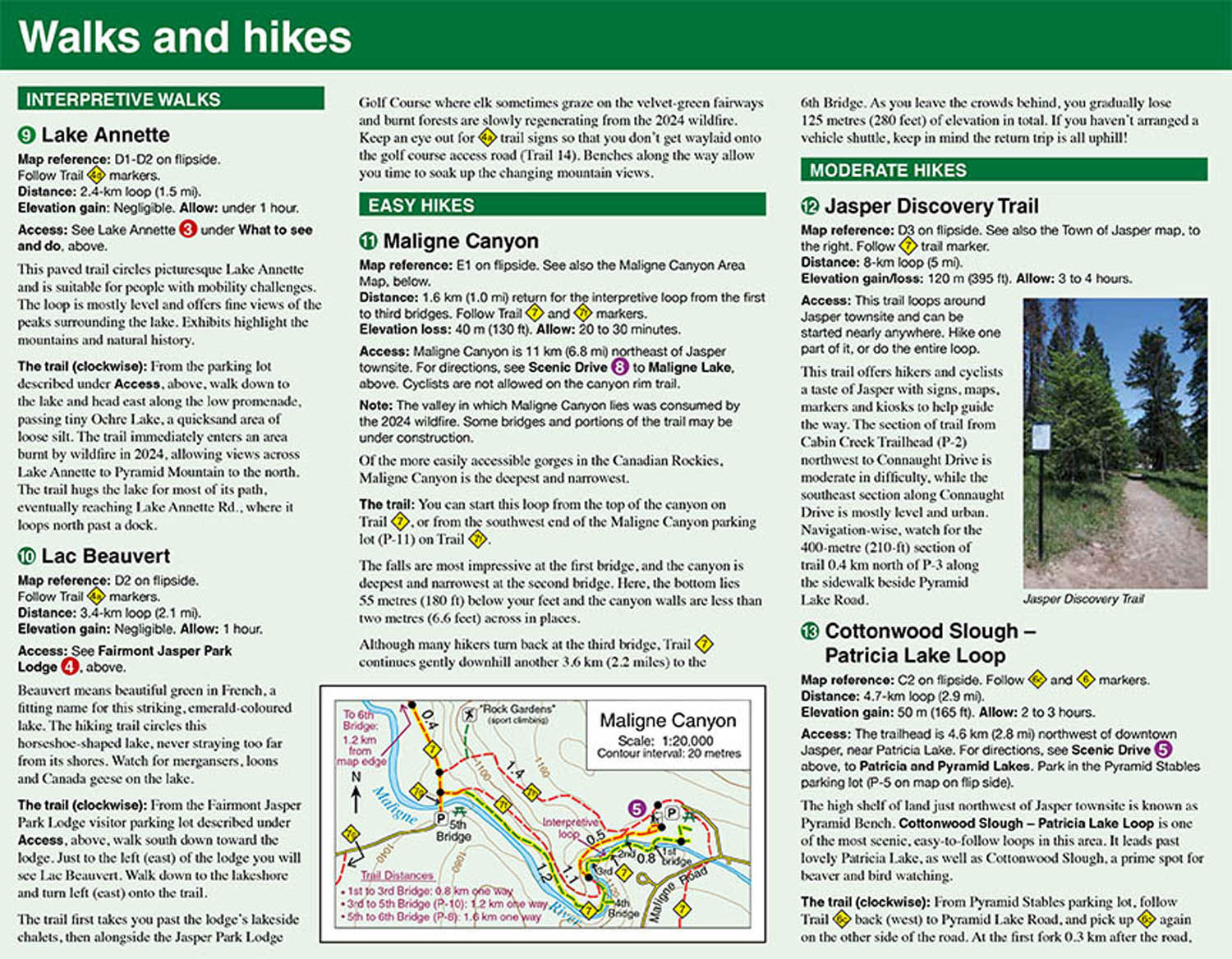
Designed for both locals and visitors, Gem Trek’s 1:35,000 Jasper Up-Close Map is a detailed relief-shaded topographic map of the Jasper area, with the newest edition updated to show changes since the 2024 wildfire. On the back of the Jasper Up-Close Map are descriptions of recommended sights, museums and scenic drives to make it easier to plan your day. We’ve also included a hand-picked list of the best six easy walks and day hikes in the area, noting the highlights of each trail, as well as distance, elevation gain and directions to the trailhead. Colour photos and three inset maps, including a town map of Jasper, accompany the descriptions of sights and hikes on the back of the map.
Jasper Up-Close Map Coverage
The Jasper Up-Close Map focuses on the town of Jasper in Jasper National Park. It extends from Saturday Night Lake in the west to Maligne Canyon in the east and from Maligne Canyon in the north to the Valley of the Five Lakes in the south.
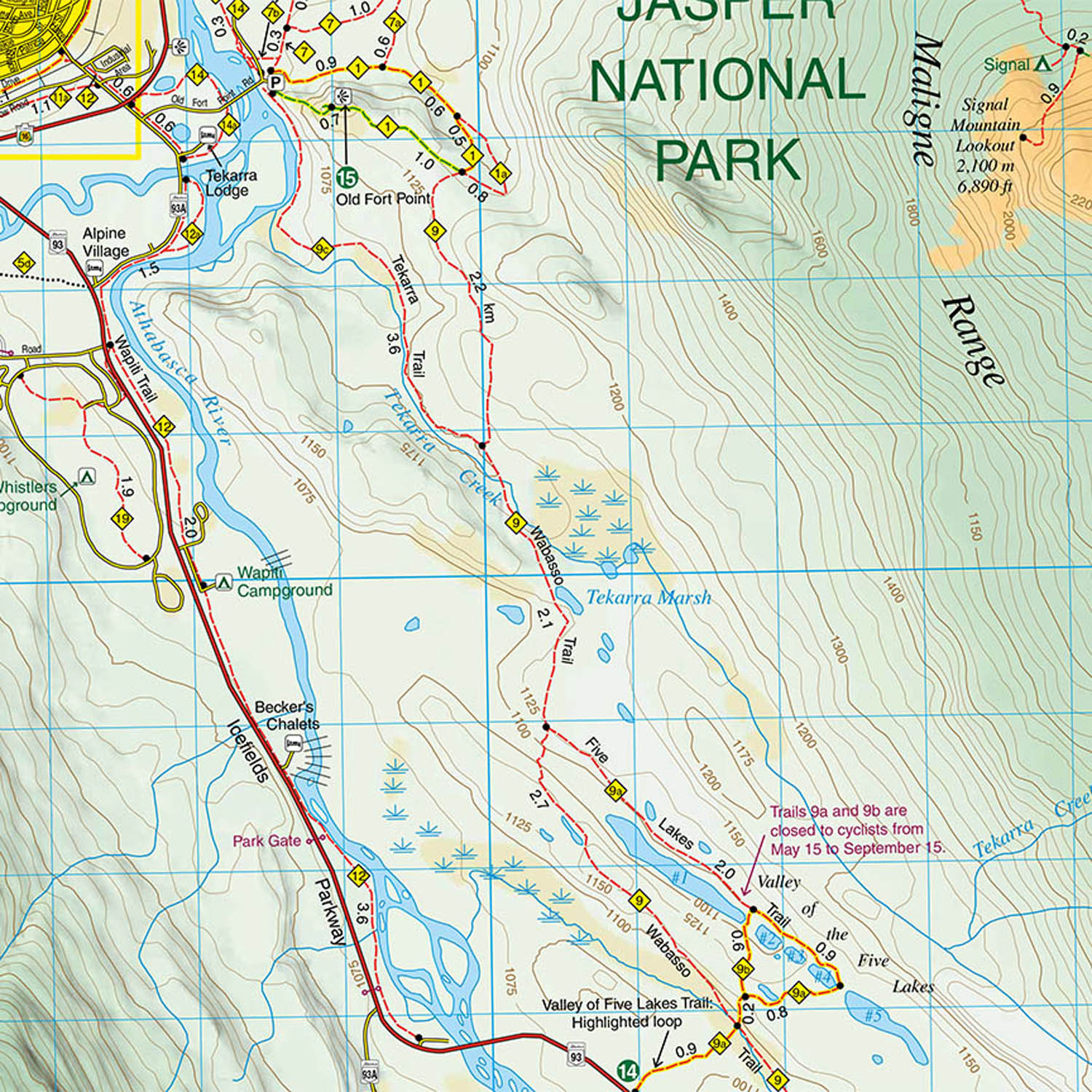
Jasper is blessed with a network of trails that can be accessed from the town. We’ve got them all covered, including to Marjorie and Hibernia Lakes, Cabin Lake, Mina and Riley Lakes, Patricia Lake, and in the vicinity of Pyramid Lake. Further afield, coverage includes trails along Maligne Canyon, to the summit of the Whistlers, to Old Fort Point, and through the Valley of the Five Lakes.
For coverage of a larger area of Jasper National Park, including Maligne Lake, see our Jasper & Maligne Lake Map.
Jasper Up-Close Map Features
The Jasper Up-Close Map includes:
- waterproof and tear-resistant paper
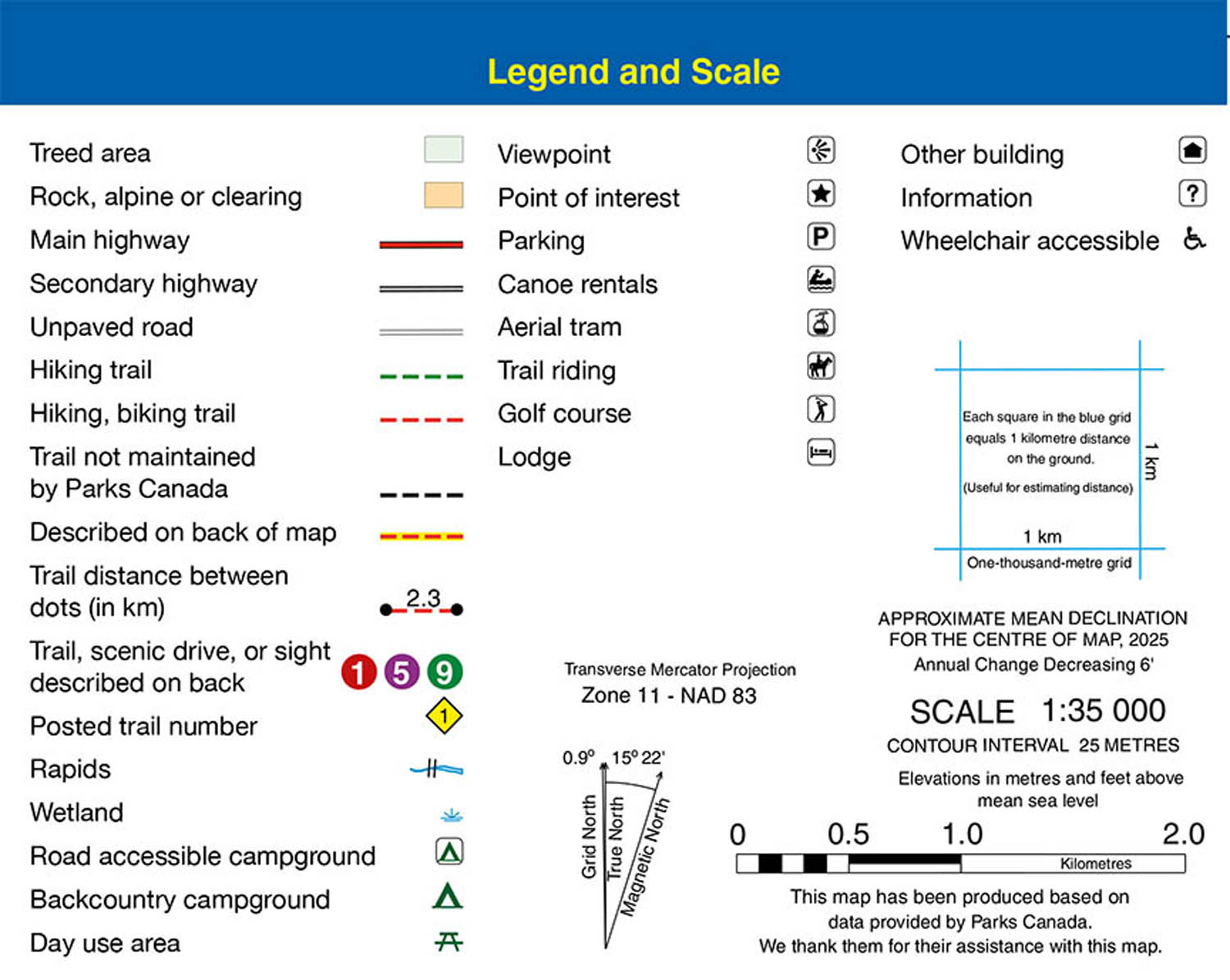
- contour lines at 25-metre (80-foot) intervals
- relief shading to better show the topography
- full colour on both sides
- hiking trails - with trail names and trail distances marked
- detailed descriptions of popular hiking trails on reverse side of map
- hydrology – rivers, rapids, glaciers, and waterfalls
- mountain names and all available mountain elevations
- all campgrounds
- points of interest and attractions
- picnic areas
- highway viewpoints