

Jasper & Maligne Lake Map
ISBN: 978-1-990161-07-0
Scale: 1:100,000
Edition: 9th, 2022
Folded size: 4.5 x 9.5 inches
Flat size: 27 x 39 inches
$14.95
Also Available Here
Description
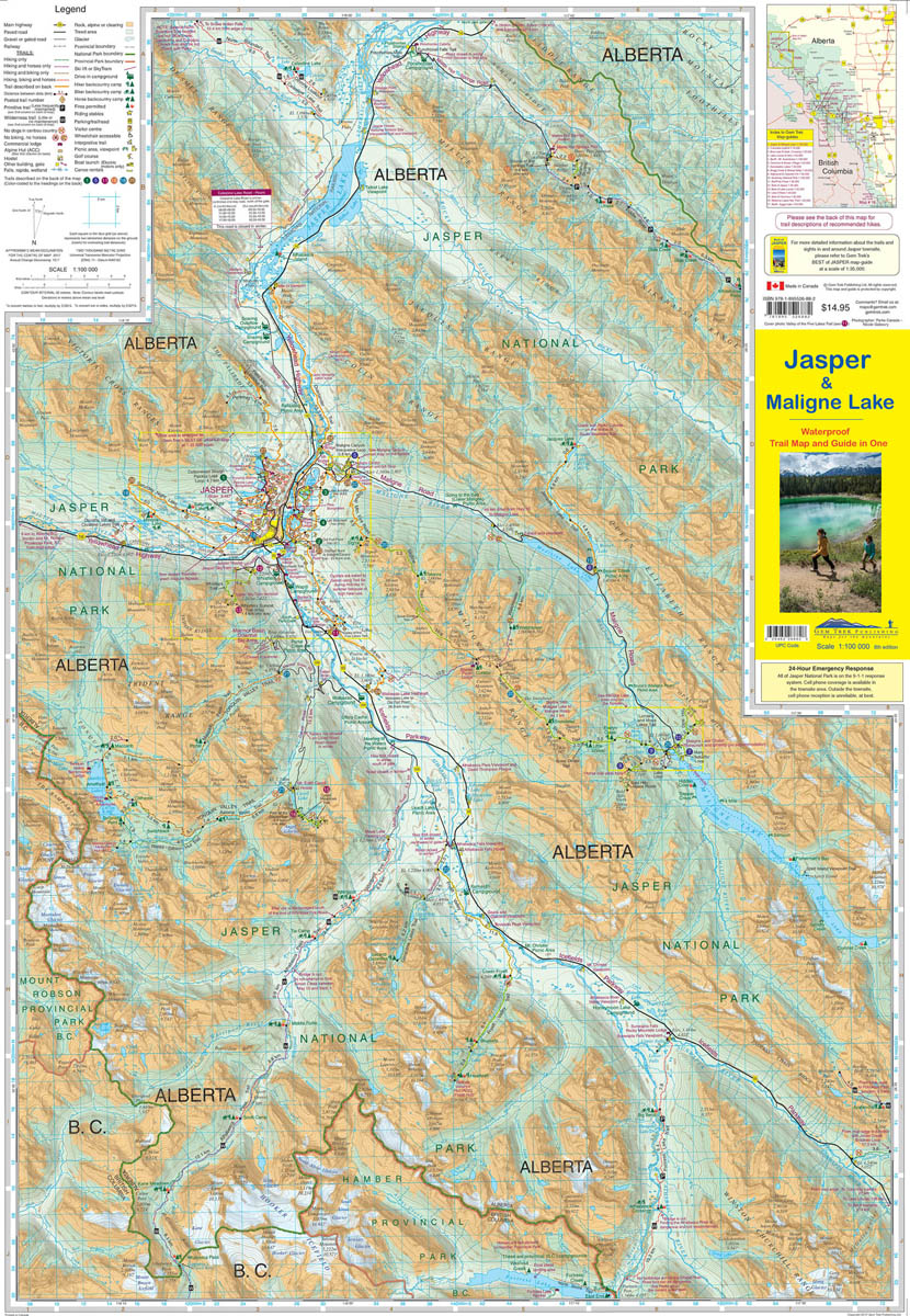
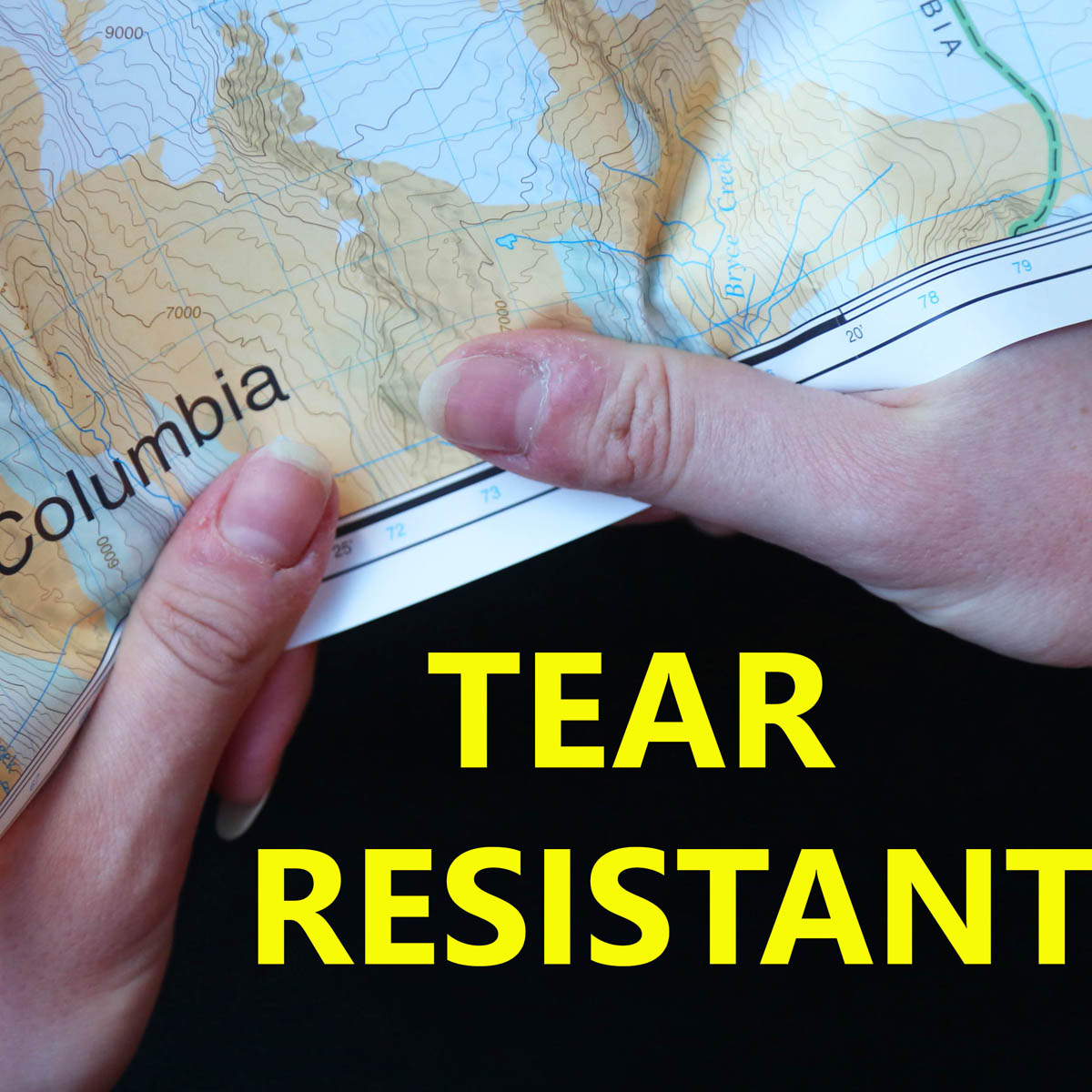
Gem Trek’s JASPER AND MALIGNE LAKE MAP map is designed for outdoor enthusiasts looking to explore the section of Jasper National Park near the town and out to Maligne Lake. Whether you are touring along the roads or heading into the backcountry, you’ll find the waterproof and tear-resistant Jasper & Maligne Lake Map to be an invaluable tool.
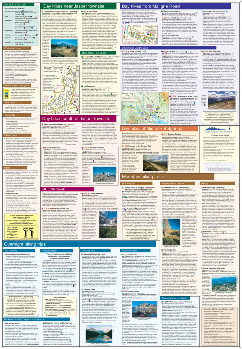
This map features detailed cartography, accurate hiking trails with distances, and details such as campgrounds, equestrian routes, picnic areas, and fire lookouts. On the back of the map are trail descriptions and photos of 18 recommended day hikes, four overnight or multi-day trips, and six classic mountain bike rides. Each of these described trails is referenced and colour-coded to the map on the front. Also on the back is contact information for Jasper National Park, as well for as the three backcountry lodges located in the Tonquin Valley and on the Skyline Trail.
Jasper & Maligne Lake Map Coverage
The Jasper & Maligne Lake Map covers the section of park around the town of Jasper as well as the entire Maligne Valley, including the extensive hiking and biking trail system that radiates from the town. Coverage extends from Miette Hot Springs in the north to Sunwapta Falls, along the Icefields Parkway, in the south.
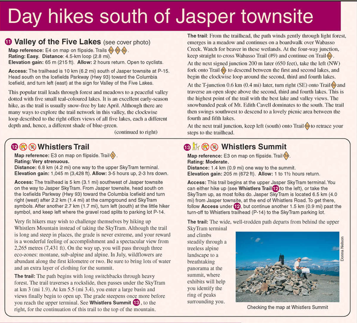
Popular day hiking trails on the Jasper & Maligne Lake Map include Bald Hills, Opal Hills, Cavell Meadows, Sulphur Skyline, Devona Lookout, The Palisades, Geraldine Lakes, Maligne Canyon, Jacques Lake, Overlander, and Valley of the Five Lakes. Multi-day hikes such as the Skyline Trail, Tonquin Valley, Astoria River, Fortress Lake, Athabasca Pass, and Fryatt Valley are shown in their entirety on this map.
A 1:50,000-scale inset map on the back increases coverage of the north end of Maligne Lake, while two other insets focus on the town of Jasper and Maligne Canyon.
Jasper & Maligne Lake Map Features
The Jasper & Maligne Lake Map includes:
- waterproof and tear-resistant paper
- contour lines at 50-metre (165-foot) intervals
- relief shading to better show the topography
- full colour on both sides
- hiking trails - with trail names and trail distances marked
- mountain biking trails - with trail names and distances marked
- hydrology – rivers, rapids, glaciers, wetlands, and waterfalls
- mountain names and all available mountain elevations
- all campgrounds
- points of interest and attractions
- picnic areas
- highway viewpoints