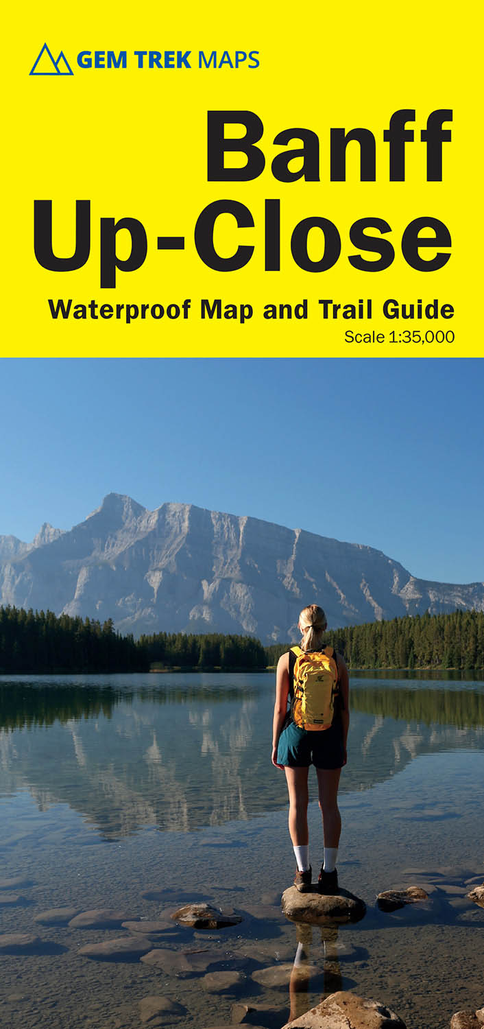
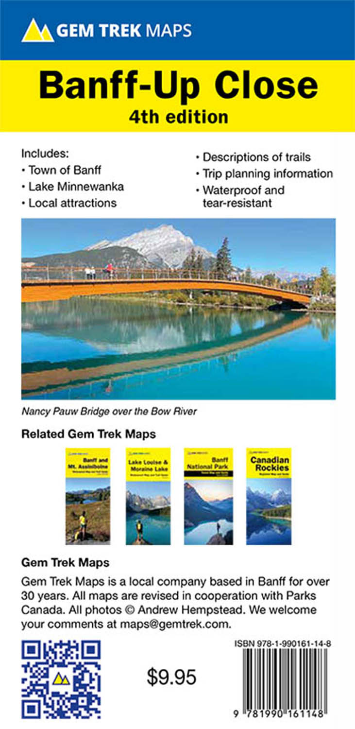
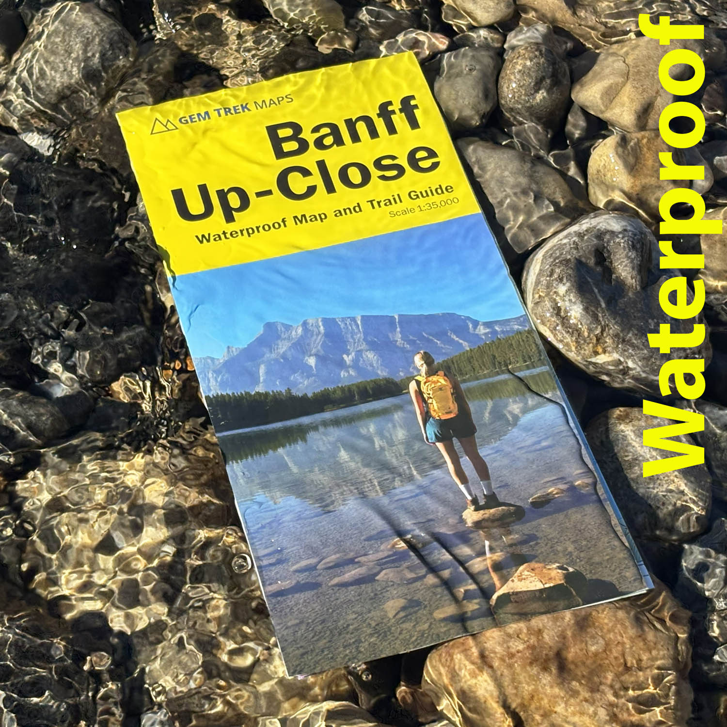
Banff Up-Close Map
ISBN: 978-1-990161-14-8
Scale: 1:35,000
Edition: 4th, 2025
Folded size: 4 x 9 inches
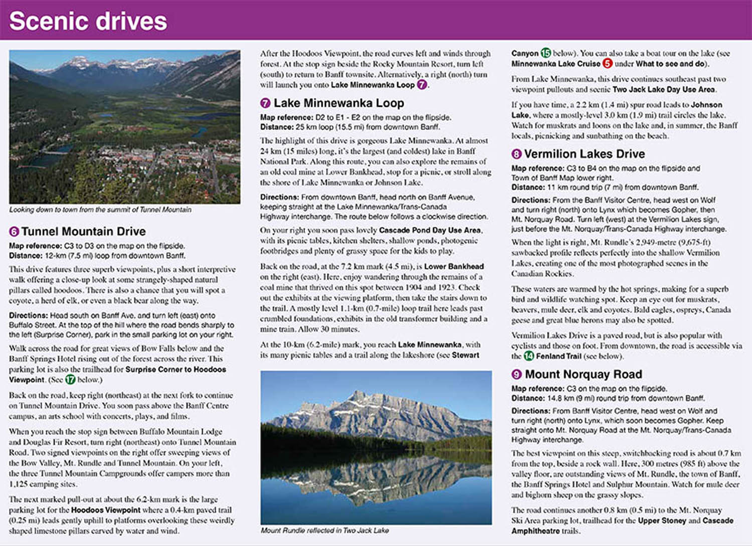
Flat size: 18 x 24 inches
$9.95
Also Available Here
Description
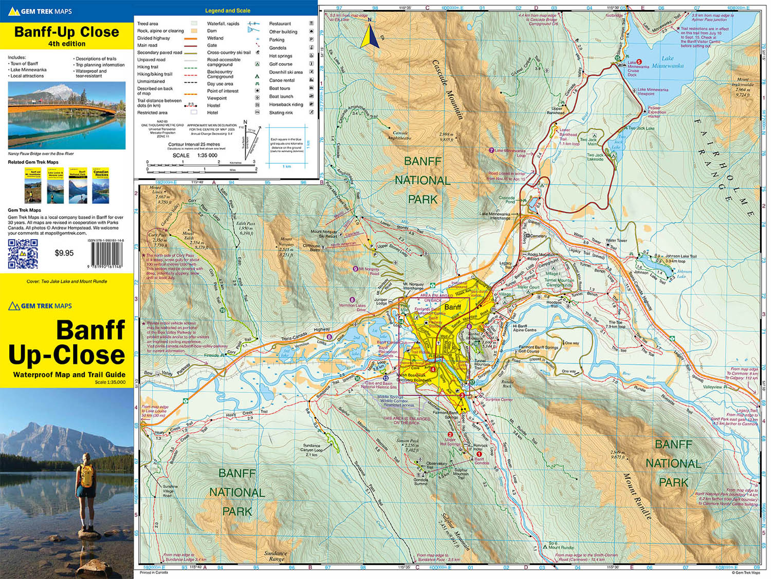
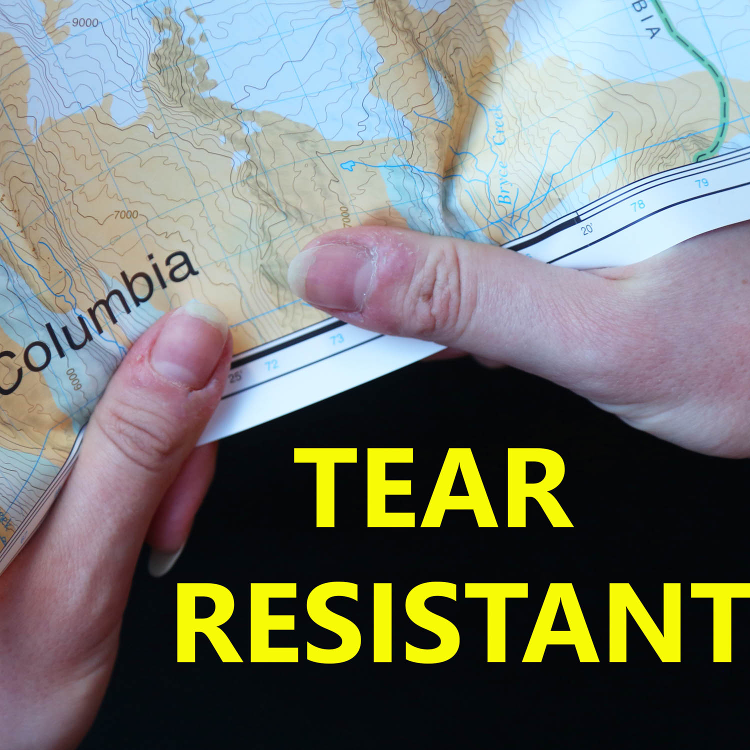
Waterproof and tear-resistant hiking and recreation map for the town of Banff and surrounds in the Canadian Rockies.
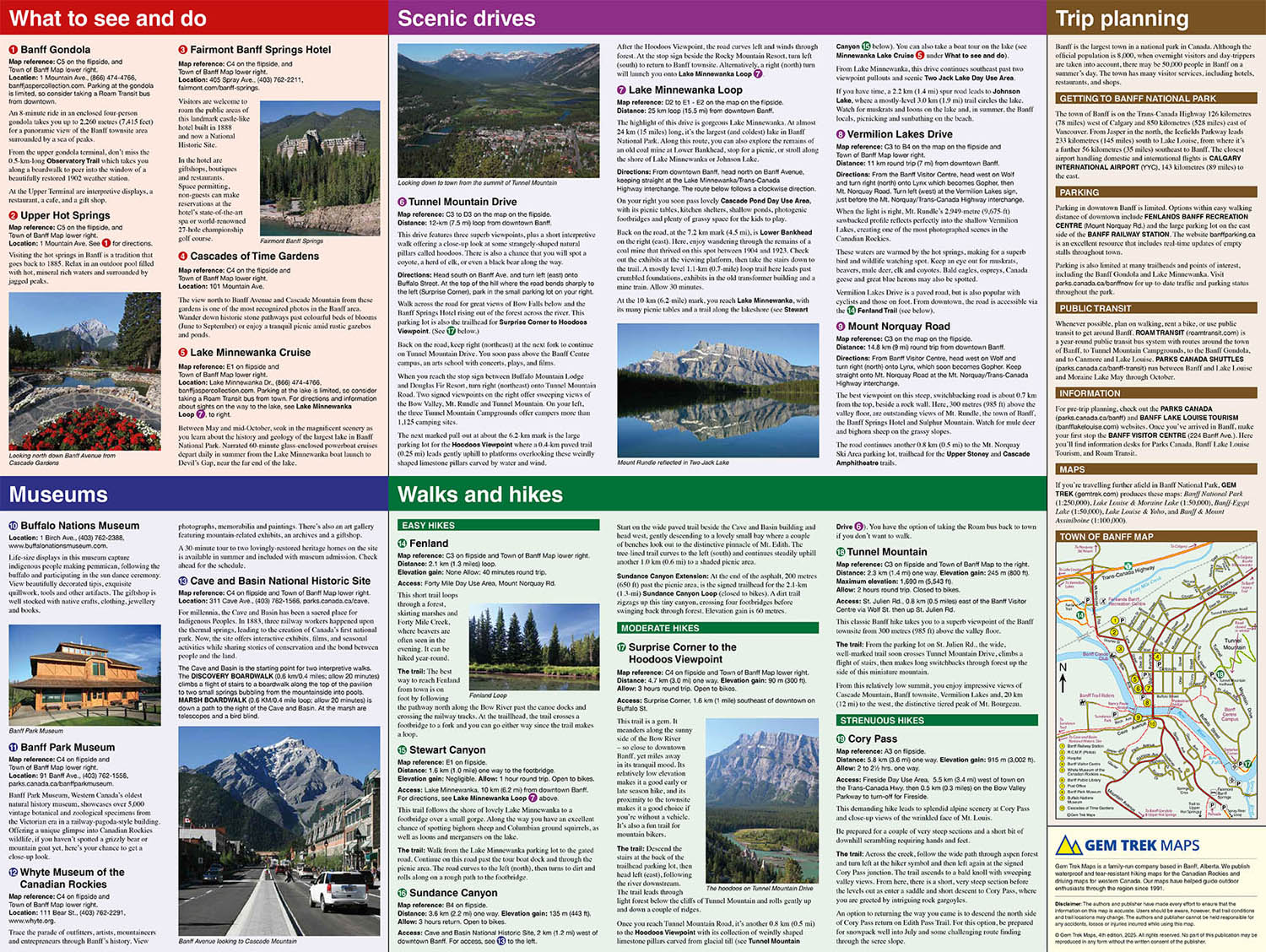
Designed for both locals and visitors, Gem Trek’s 1:35,000 Banff Up-Close Map is a detailed relief-shaded topographic map of the Banff area. All hiking and biking trails are labeled, and distances are marked. Like all Gem Trek maps, the Banff Up-Close Map features detailed cartography and accurate hiking trails with distances, elevation gain, and directions to the trailhead noted. An inset on the back increases coverage of downtown Banff, with museums and all streets marked. Also on the flipside are descriptions of the sights, museums and scenic drives in Banff. We've also included a hand-picked list of the best seven walks and day hikes in the area. The highlights of each trail are noted, as well as distance, elevation gain and directions to the trailhead.
Banff Up-Close Map Coverage
The Banff Up-Close Map focuses its coverage on the town of Banff. It extends from the Sunshine Village turnoff in the west, to Lake Minnewanka in the north and east, to the Banff Gondola in the south.
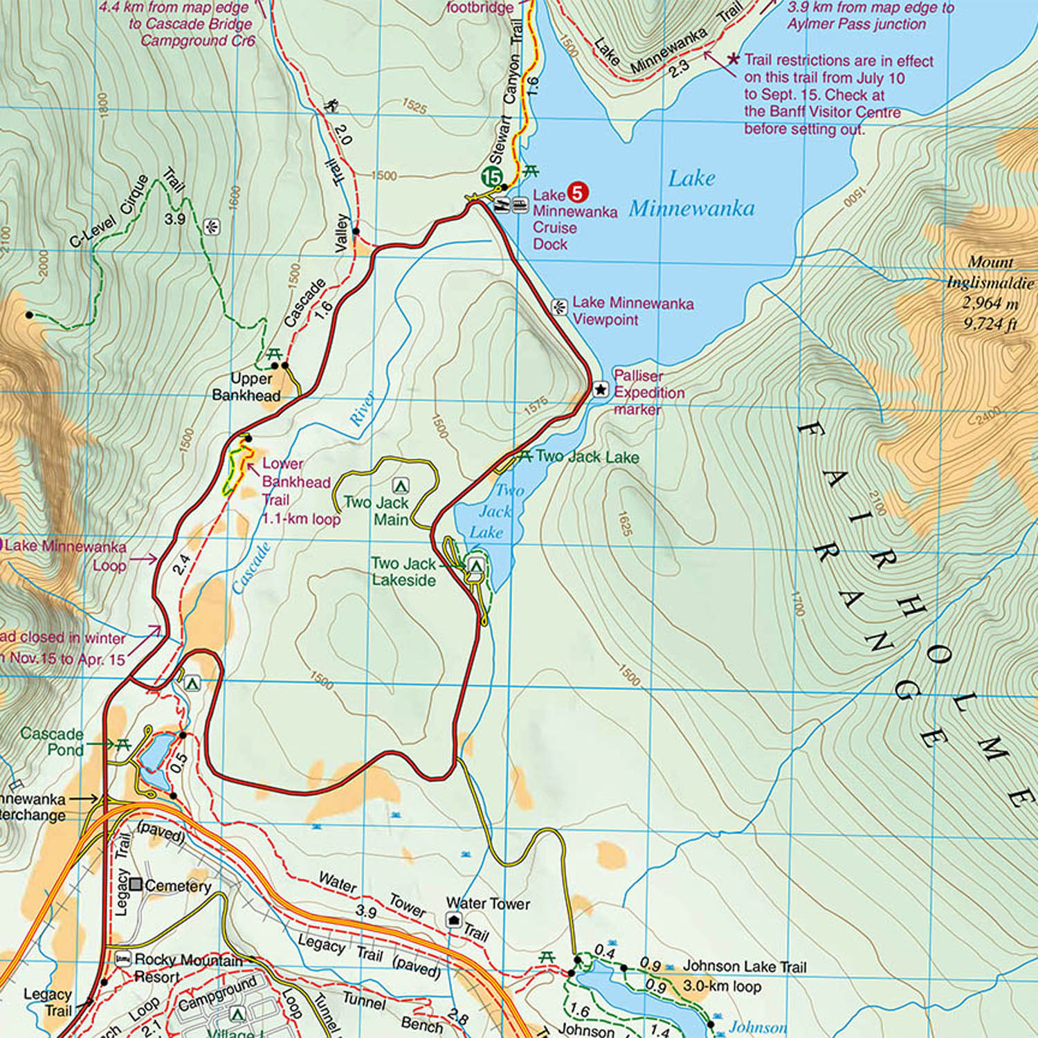
Popular hiking trails on the Banff Up-Close Map include Sundance Canyon, Stewart Canyon, the Hoodoos, Tunnel Mountain, and Cory Pass. The map also has detailed information on the town’s museums and historic sites.
An inset on the back increases coverage of downtown Banff, with museums and all major streets marked.
Banff Up-Close Map Features
The Banff Up-Close Map includes:
- waterproof and tear-resistant paper
- contour lines at 25-metre (80-foot) intervals
- relief shading to better show the topography
- full colour on both sides
- hiking trails - with trail names and trail distances marked
- mountain biking trails - with trail names and distances marked
- hydrology – rivers, rapids and waterfalls
- mountain names and all available mountain elevations
- all campgrounds
- points of interest and attractions
- picnic areas
- highway viewpoints