Canadian Rockies Maps
Gem Trek Maps publishes the most accurate and up-to-date Canadian Rockies hiking and driving maps.
Gem Trek driving maps will guide you to all the best-known destinations while our waterproof hiking maps will lead you through the spectacular Canadian Rockies backcountry.
We take you where you want to go
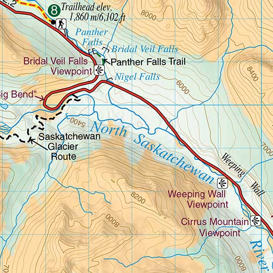
Hiking Maps
Topographic hiking maps for the Canadian Rockies, including Banff and Jasper National Parks
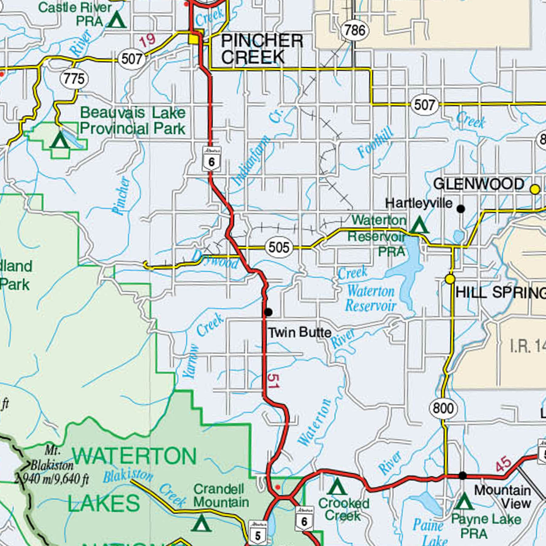
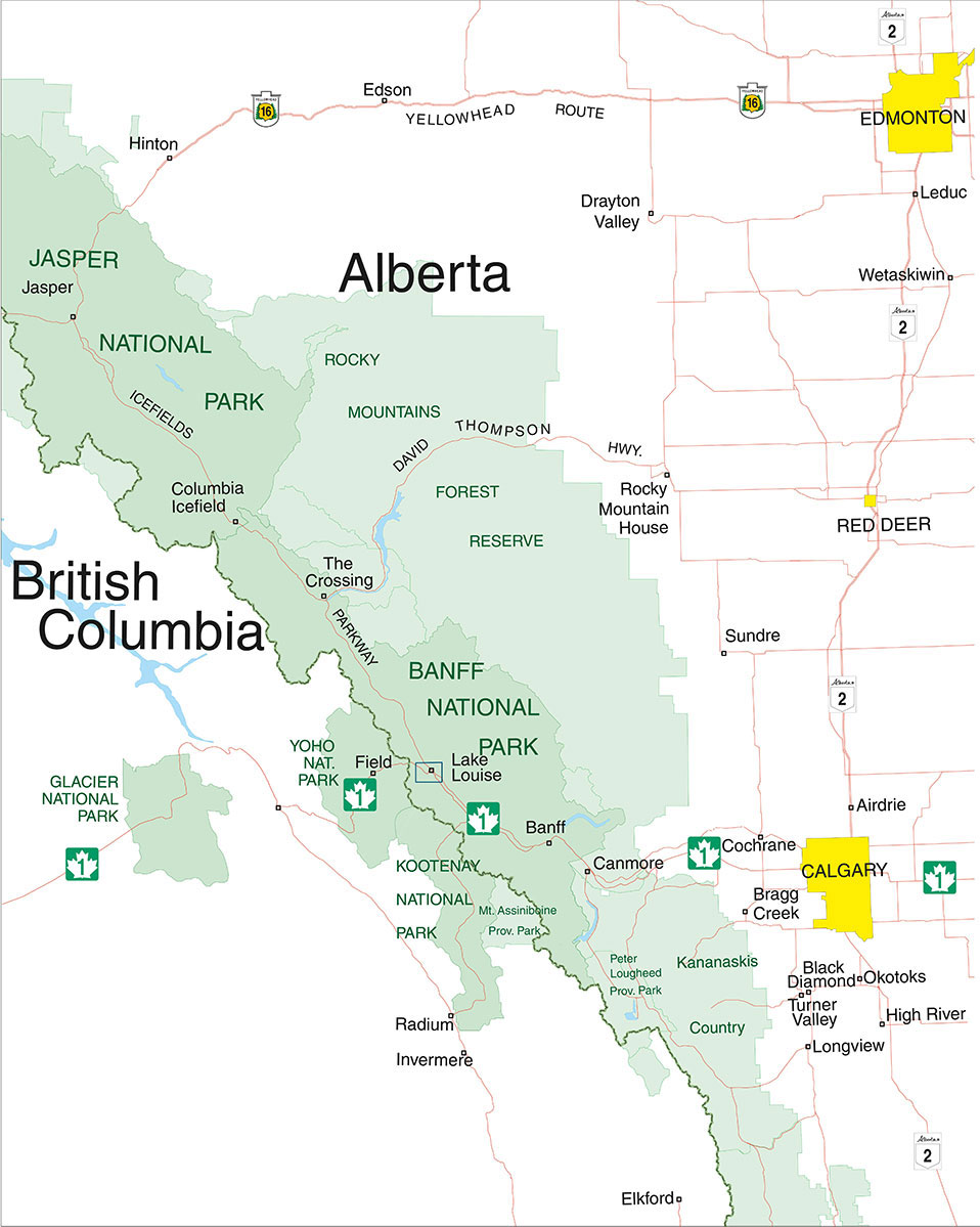
Driving Maps
Detailed touring maps that cover the most popular destinations in Alberta and British Columbia.
EXPLORE GEM TREK HIKING MAPS
Move your mouse across the map below to see which regions each of our maps cover, then click to be redirected to that map.